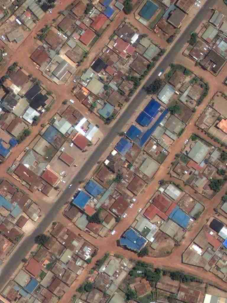
although the images seem to be a few years old
– the 'coordinates' of our compound are marked:
|
—
Technical details: 12 256x256-pixel jpg-files saved from Google-maps were combined into a single file, using the command-line utility jpegtran.exe with the options -crop and -drop – faster than drag-and-drop or copy-and-paste, and it is lossless; unfortunately the Linux-version of the program is more limited.